
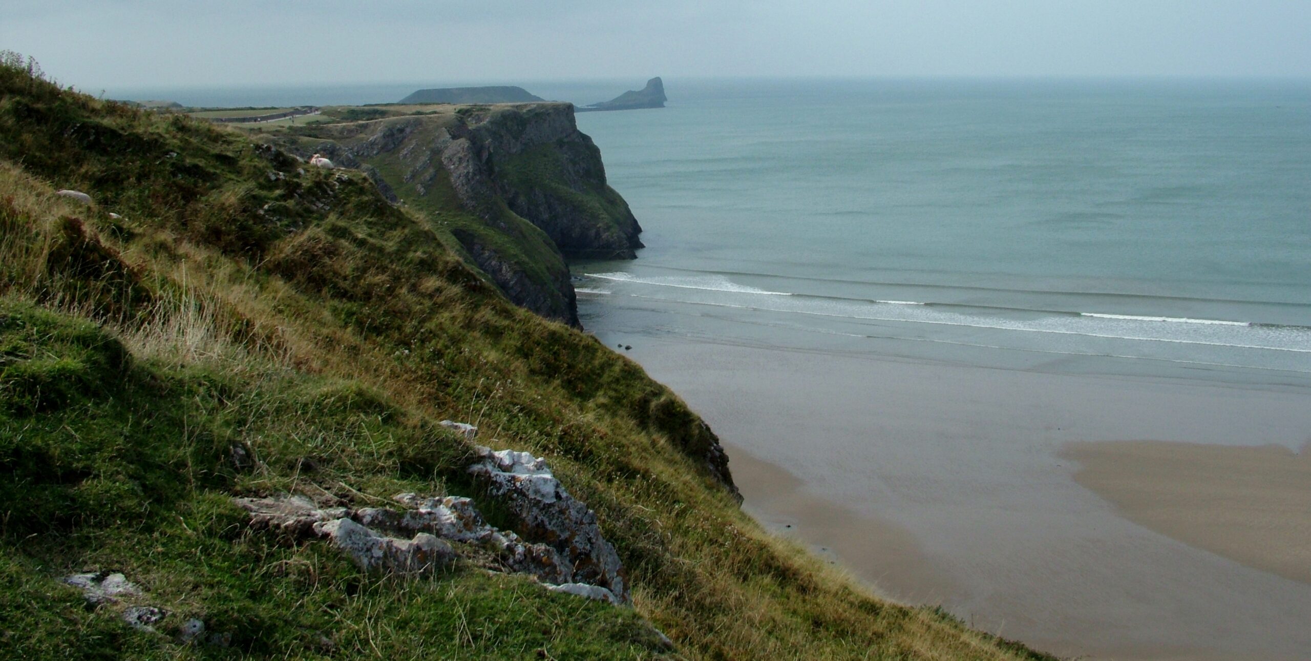
Worm’s Head is the rocky tidal island at the western tip of Gower, reached from Rhossili by a short cliff-top walk and a rocky causeway that is only uncovered around low tide. The National Trust’s own Rhosili walk follows the same opening stretch as far as the coastwatch lookout.
Where it starts
Start at the large National Trust car park in Rhossili (postcode SA3 1PR), open all year; members park free and others pay a charge. Walk past the National Trust shop with the beach on your right, go through the gate and follow the track along the cliffs, past the mounds of an Iron Age fort and the old strip fields of The Vile. Where the surfaced track bends left, carry straight on along the grass path to the National Coastwatch lookout, which looks straight out to the Worm.
Underfoot
The cliff track is level and even as far as the lookout. Beyond it you drop down to the rocky causeway. On the island, keep to the main path, as the cliffs are very steep.
When to take care
- The National Trust advises that the causeway can be crossed for about two and a half hours either side of low tide. Check the tide tables at the coastwatch lookout before crossing and allow time to get back.
- If you are cut off, never try to wade or swim back across the causeway.
- The Outer Head is closed for part of each year while seabirds nest, so check locally.
Distance: about 6 km (4 miles), there and back, measured along the line on the route map below.
The line is a guide to the route, not a substitute for a proper map. Carry an Ordnance Survey map, check the weather before you set off and allow plenty of time.
Walk it with us
Worm’s Head is on the Gower stretch of the Wales Coast Path. See our Wales Coast Path page for walking holidays on the coast. We book your accommodation, move your luggage each day and provide route notes.
Photo: Peter Evans, CC BY-SA 2.0, via Wikimedia Commons.