
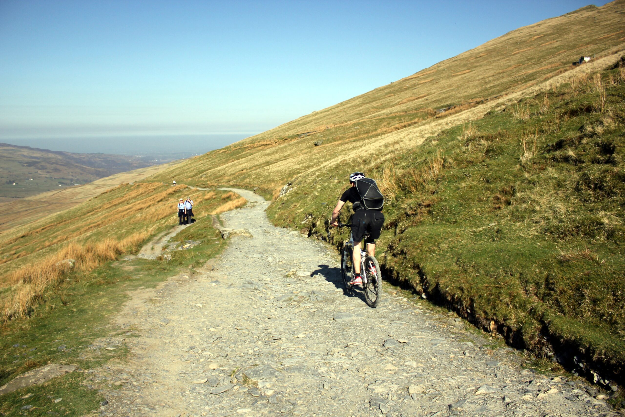
The Llanberis Path is the longest of the main routes up Yr Wyddfa, the highest mountain in Wales, and has the most gradual climb. That does not make it easy. The National Park grades it hard and strenuous: 14.5 km there and back, around 975 metres of ascent and about seven hours of walking.
Where it starts
The path begins at the far end of Victoria Terrace, near the Royal Victoria Hotel at the southern end of Llanberis. Use the village car parks rather than side streets, or come by Sherpa’r Wyddfa bus. A steep lane through a farmyard leads to the signed path, which then climbs steadily beside the Snowdon Mountain Railway, passing the Halfway House, where refreshments are sold in summer.
Underfoot
Above Halfway the path steepens up Allt Moses, passes under the railway and climbs the slopes of Carnedd Ugain to Bwlch Glas, where a standing stone marks the junction with the Pyg Track and Miners’ Track below the summit. Expect rough mountain ground throughout, steepening in the upper half.
When to take care
- Never walk along the railway track.
- Take care above Cwm Glas Bach, and on the descent keep left below Bwlch Glas to avoid the path towards Crib Goch.
- Full hill walking gear is essential, and winter can bring snow and ice that need specialist equipment. Check Yr Wyddfa Live first.
Distance: about 14 km (9 miles), there and back, measured along the line on the route map below.
The line is a guide to the route, not a substitute for a proper map. Carry an Ordnance Survey map, check the weather before you set off and allow plenty of time.
Walk it with us
Llanberis is a base on our Snowdonia Trail (high level) holiday, which climbs Yr Wyddfa by the Miners’ and Pyg Tracks. We book your accommodation, move your luggage each day and provide route notes.
Photo: Jeff Buck, CC BY-SA 2.0, via Wikimedia Commons.