
Popular walks in Wales
Some of the best-loved walks in Wales, each with a route map you can zoom into, a height profile and a GPX file to download. They range from an hour by a waterfall to a full day on Yr Wyddfa.
Every walk here is near one of our walking holidays, so if you would like several days of walking like this, with your accommodation booked and your luggage moved for you, have a look at our self-guided walking holidays and guided walking tours.
Bannau Brycheiniog and the Black Mountains
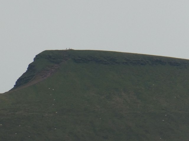 Pen y Fan and Corn Du from Pont ar DafThe short way up the highest peak in southern Britain: from Pont ar Daf to Corn Du and Pen y Fan, out to Cribyn and back.
 Four Waterfalls Walk, Bannau BrycheiniogA strenuous waymarked circuit through the wooded gorges of Waterfall Country, taking in four falls on the Mellte and Hepste rivers.
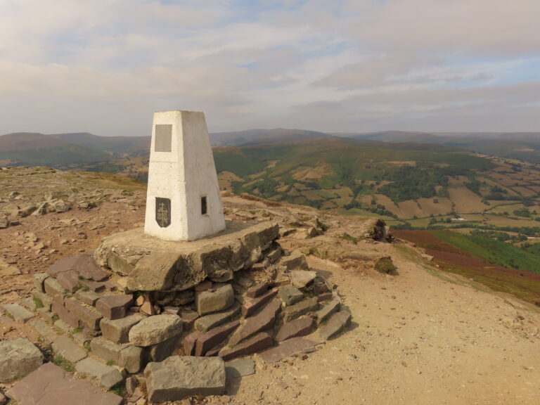 Sugar Loaf walk from the Fro car park, AbergavennyA quieter way up the 596-metre Sugar Loaf, climbing from the small Fro car park on the north-east side of the hill.
 Skirrid (Ysgyryd Fawr) walk, AbergavennyA short, energetic National Trust circuit through woodland and onto the open ridge of Ysgyryd Fawr, the Holy Mountain east of Abergavenny.
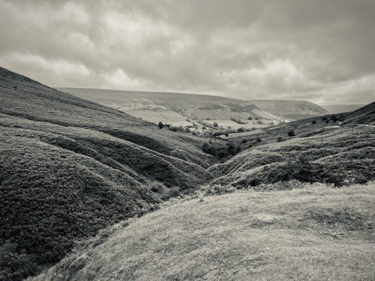 Hay Bluff and Twmpa walk from the Gospel PassTwo short climbs from the Gospel Pass to the northern tops of the Black Mountains, Hay Bluff and Twmpa.
 Hatterrall Ridge circular from Llanthony PrioryA classic Black Mountains day: up from the priory ruins onto Hatterrall Ridge and the Offa’s Dyke Path, south along the border to Hatterrall Hill, and back by the crooked church at Cwmyoy.
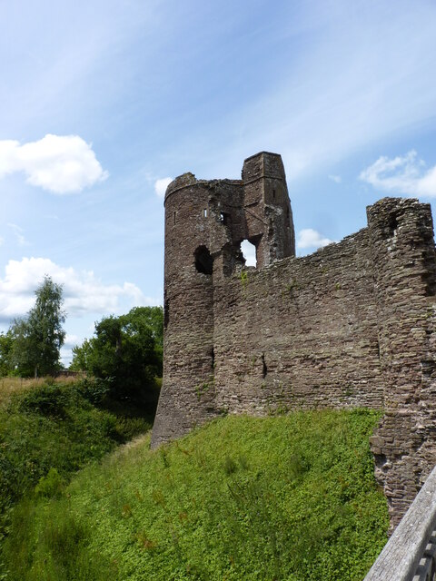 Three Castles Walk from GrosmontA loop from Grosmont linking the three Norman castles of Gwent: Grosmont, Skenfrith and White Castle, back over the hills by Llangattock Lingoed.
Eryri (Snowdonia)
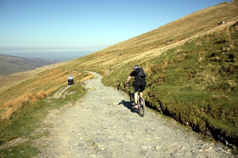 Yr Wyddfa (Snowdon) by the Llanberis PathThe longest and most gradual of the main paths up Yr Wyddfa, climbing from Llanberis alongside the mountain railway.
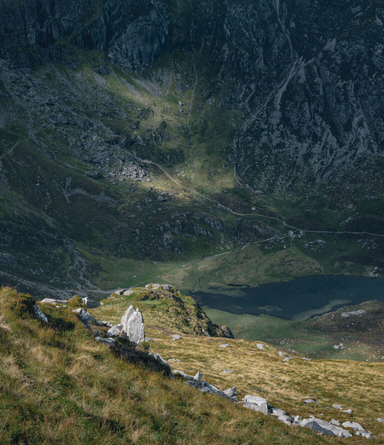 Cwm Idwal and Llyn Idwal circular walk, EryriA short but rough mountain circuit around Llyn Idwal, beneath the Idwal Slabs and the Devil’s Kitchen in the Ogwen Valley.
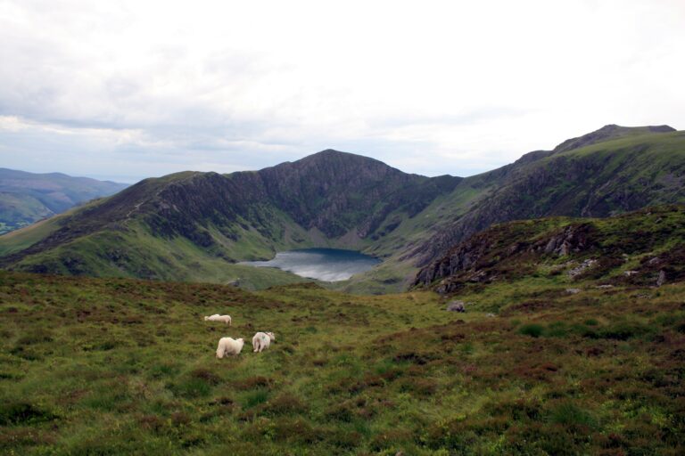 Cadair Idris by the Minffordd PathA very strenuous climb to Penygadair, the summit of Cadair Idris, through the rocky bowl of Cwm Cau.
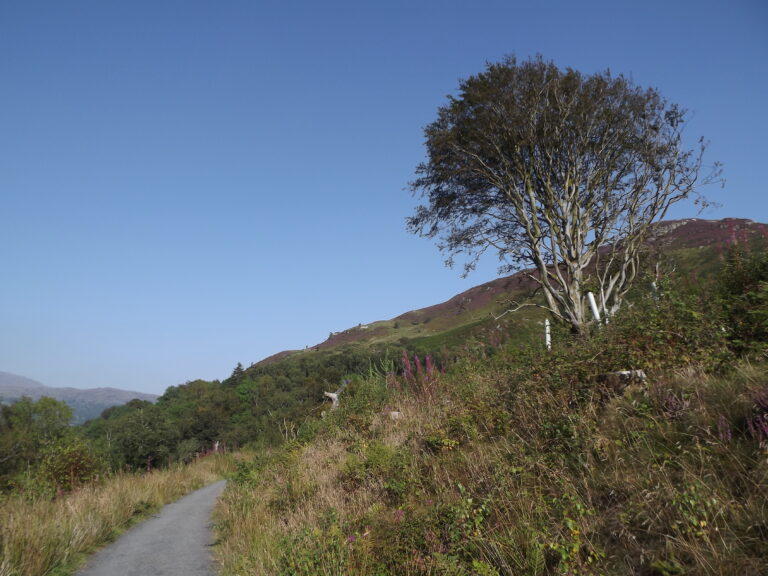 Precipice Walk, DolgellauA 5 km circuit round Foel Cynwch on the Nannau estate, with views over the Mawddach valley and a return along Llyn Cynwch.
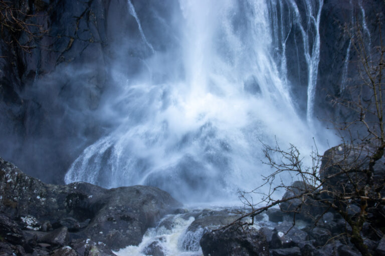 Aber Falls walk, Coedydd AberAn easy waymarked valley walk through Coedydd Aber National Nature Reserve to the foot of Rhaeadr Fawr, Aber Falls.
Coast and the Wye Valley
 Rhossili to Worm’s Head walk, GowerA cliff-top walk from Rhossili village to the coastwatch lookout and, at low tide, across the causeway to Worm’s Head.
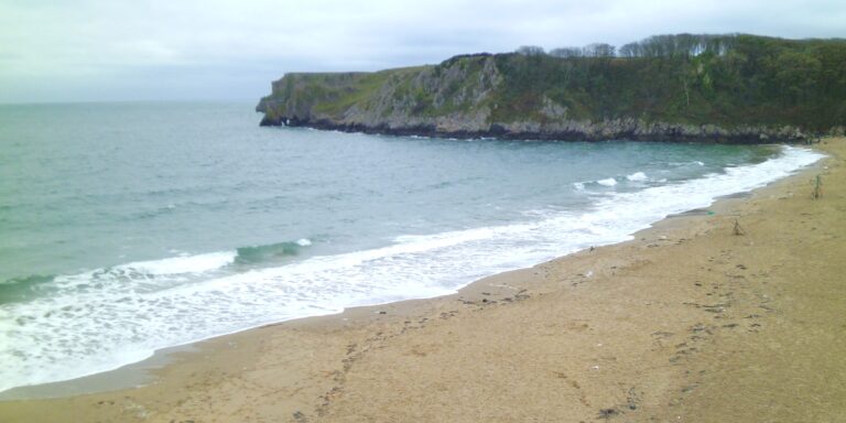 Stackpole Quay to Barafundle and Bosherston Lily PondsA circuit of the Stackpole Estate linking Barafundle Bay, the limestone cliffs of Stackpole Head and the Bosherston Lily Ponds.
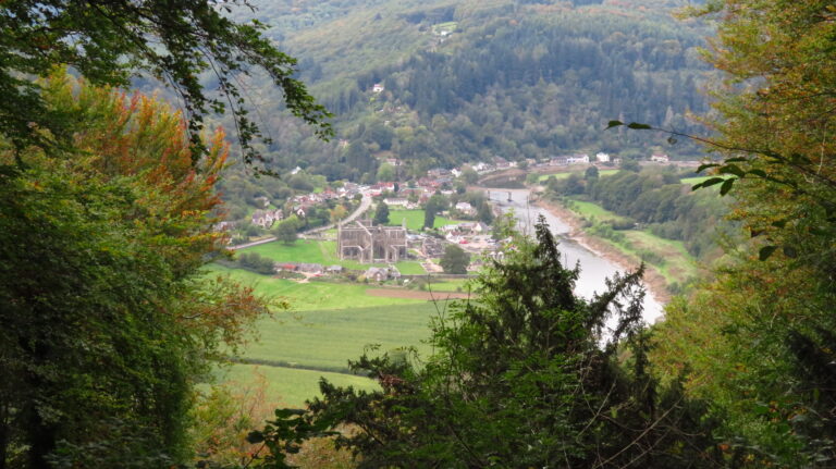 Tintern to the Devil’s Pulpit walk, Wye ValleyA steep woodland climb from Tintern across the Wye to the Devil’s Pulpit, a limestone viewpoint above Tintern Abbey.
Longer trails, a day at a time
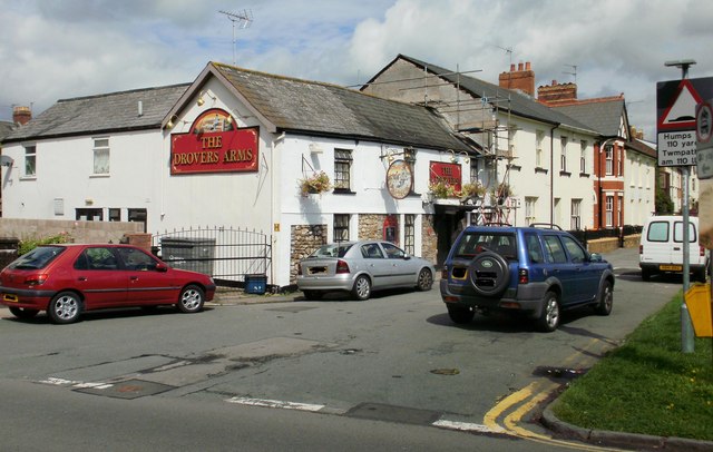 Usk Valley Walk, day 1: Caerleon to UskA gentle first day up the Usk from the Roman fortress at Caerleon, through Llanhennock, Tredunnock and Llantrisant to the little town of Usk.
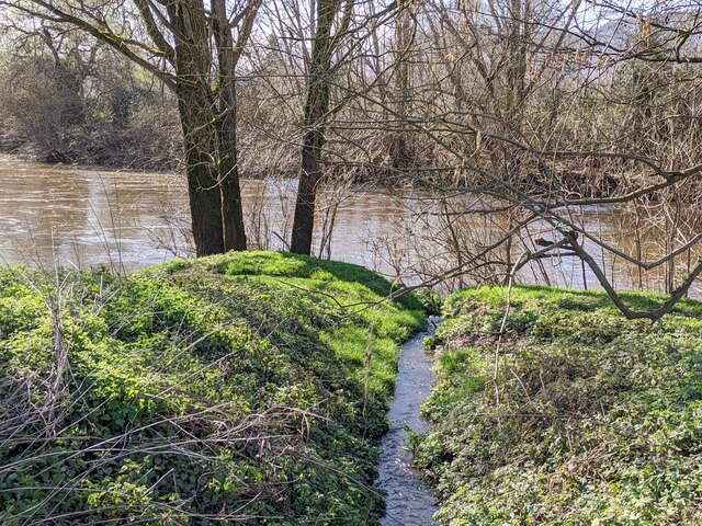 Usk Valley Walk, day 2: Usk to AbergavennyThe longest day of the walk, keeping close to the river through quiet farmland by Kemeys Commander and Llanvihangel Gobion to Abergavenny under the Blorenge.
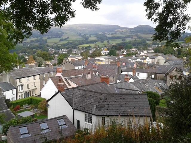 Usk Valley Walk, day 3: Abergavenny to CrickhowellA short, easy day west from Abergavenny by Llanwenarth and Glangrwyney to Crickhowell and its old stone bridge, with time to spare in town.
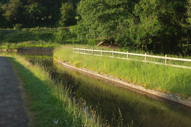 Usk Valley Walk, day 4: Crickhowell to BreconOver the bridge to Llangattock, then along the Monmouthshire and Brecon Canal by Llangynidr, Talybont-on-Usk and Pencelli to Brecon.
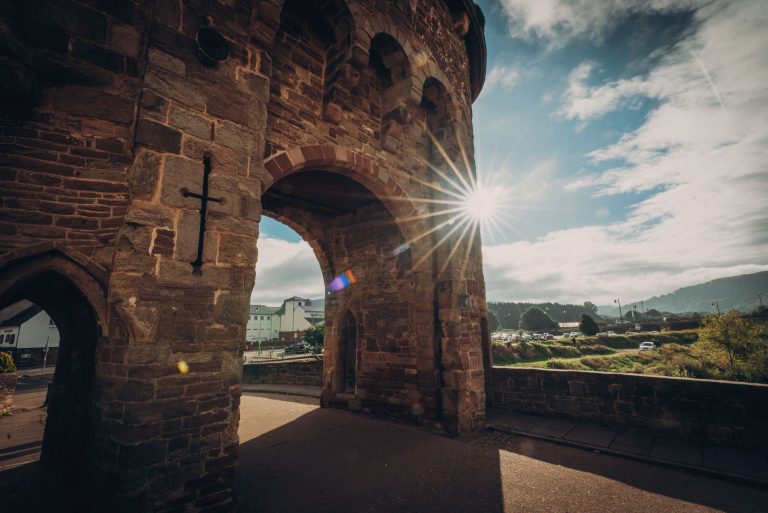 Monnow Valley Walk: Monmouth to Hay-on-WyeThe Monnow Valley Walk upstream from Monmouth by Skenfrith, Grosmont, Kentchurch and Clodock, over Hay Bluff and down into Hay-on-Wye. Three nights on the way.
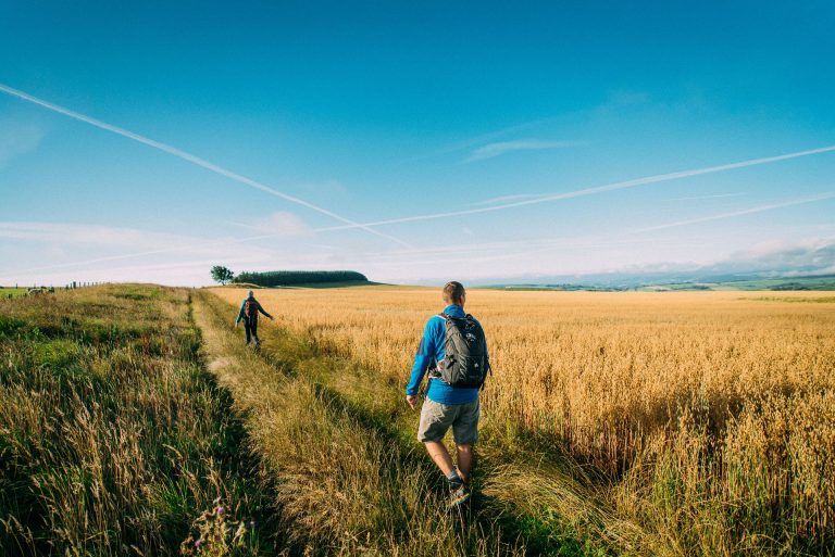 Offa’s Dyke Path: Hay-on-Wye to KnightonTwo days on Offa’s Dyke Path: from Hay-on-Wye over Hergest Ridge to Kington, then north to Knighton, the trail’s halfway point.
The lines on these maps are a guide, not a substitute for an Ordnance Survey map. Conditions on the hills change quickly, so check the forecast before you set off. Photos credited on each walk’s page.