
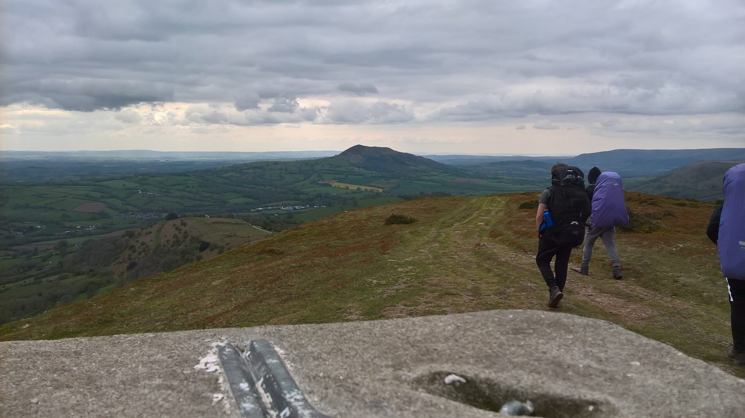
Ysgyryd Fawr, known in English as the Skirrid, is the distinctive hill north-east of Abergavenny. The National Trust’s trail here is a 4-mile (6.4 km) circuit that the Trust grades moderate and times at about two hours, climbing through woodland onto the open hill and up to the summit, where the remains of St Michael’s chapel stand near the trig point.
Where it starts
The walk begins at the National Trust car park on the B4521, the old Monmouth road (postcode NP7 8AP). There is a parking charge for non-members. From the welcome board, a kissing gate leads onto a gravel track that climbs through the wood to a gate in a dry-stone wall. You then follow a path that contours around the flank of the hill to its far end, climb a short, waymarked path on the eastern side to the trig point, and come back south along the ridge before dropping into the woods again.
Underfoot
Gravel tracks give way to mud and grass paths, and the trail has sharp climbs and descents, including a steep pull to the summit.
When to take care
- Paths through the wood can be muddy, so wear boots with good grip.
- The descent off the summit is steep; take it slowly in the wet.
- Dogs are welcome but must be kept under close control.
Distance: about 6 km (3 miles), round trip, measured along the line on the route map below.
The line is a guide to the route, not a substitute for a proper map. Carry an Ordnance Survey map, check the weather before you set off and allow plenty of time.
Walk it with us
Our Beacons Way holiday crosses Ysgyryd Fawr on its second day, walking out from Abergavenny. We book your accommodation, move your luggage each day and provide route notes.
Photo: Bibeyjj, CC BY-SA 4.0, via Wikimedia Commons.