
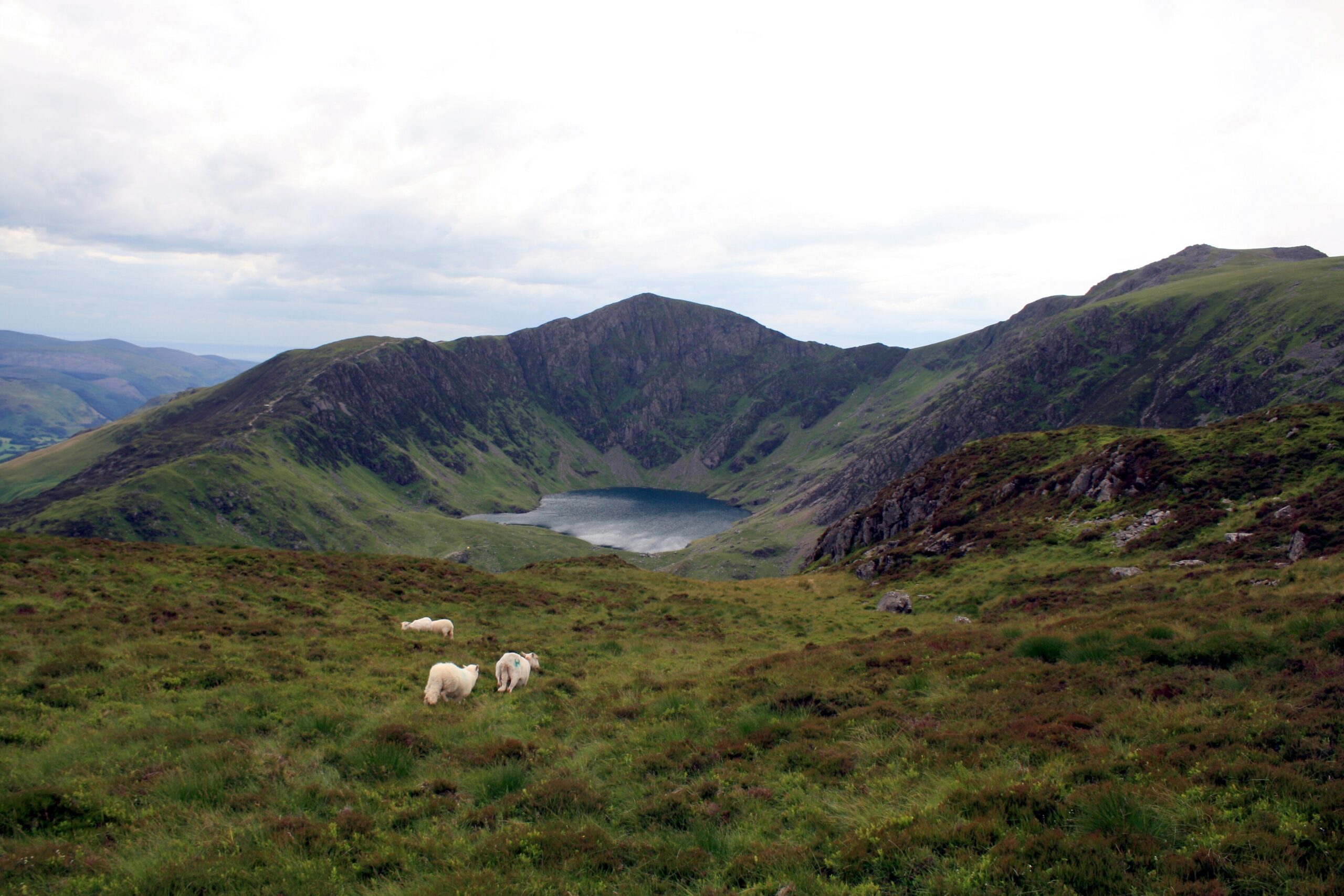
The Minffordd Path is the steep southern route up Cadair Idris, rising through woodland into Cwm Cau, home to Llyn Cau, before climbing over Craig Cau to Penygadair, the summit. Natural Resources Wales, which manages the National Nature Reserve here, gives it as 9 km there and back with 788 metres of ascent and about five hours of walking, and calls it a very strenuous climb.
Where it starts
The walk starts at Dôl Idris car park, run by the National Park Authority, just off the A487 on the B4405, about ten miles south of Dolgellau. There is a parking charge, with toilets and a picnic area. The Traws Cymru bus along the A487 stops nearby. The first stretch shares its line with the shorter Gorge Climb.
Underfoot
Expect steep hills and rough mountain ground, with possible short sections of scrambling higher up. The path is not waymarked, so you need a map and the skills to use it.
When to take care
- The summit can be several degrees colder than the car park and is often wrapped in cold, damp cloud.
- Check the Met Office mountain forecast and be ready to turn back if conditions worsen.
- Carry a map, compass, torch, food, drink, first aid kit and a charged phone, and tell someone your plans. In an emergency call 999 and ask for Police, then Mountain Rescue.
Distance: about 9 km (6 miles), there and back, measured along the line on the route map below.
The line is a guide to the route, not a substitute for a proper map. Carry an Ordnance Survey map, check the weather before you set off and allow plenty of time.
Walk it with us
Our Cambrian Way holiday crosses Cadair Idris in its third week. We book your accommodation, move your luggage each day and provide route notes.
Photo: Jeff Buck, CC BY-SA 2.0, via Wikimedia Commons.