
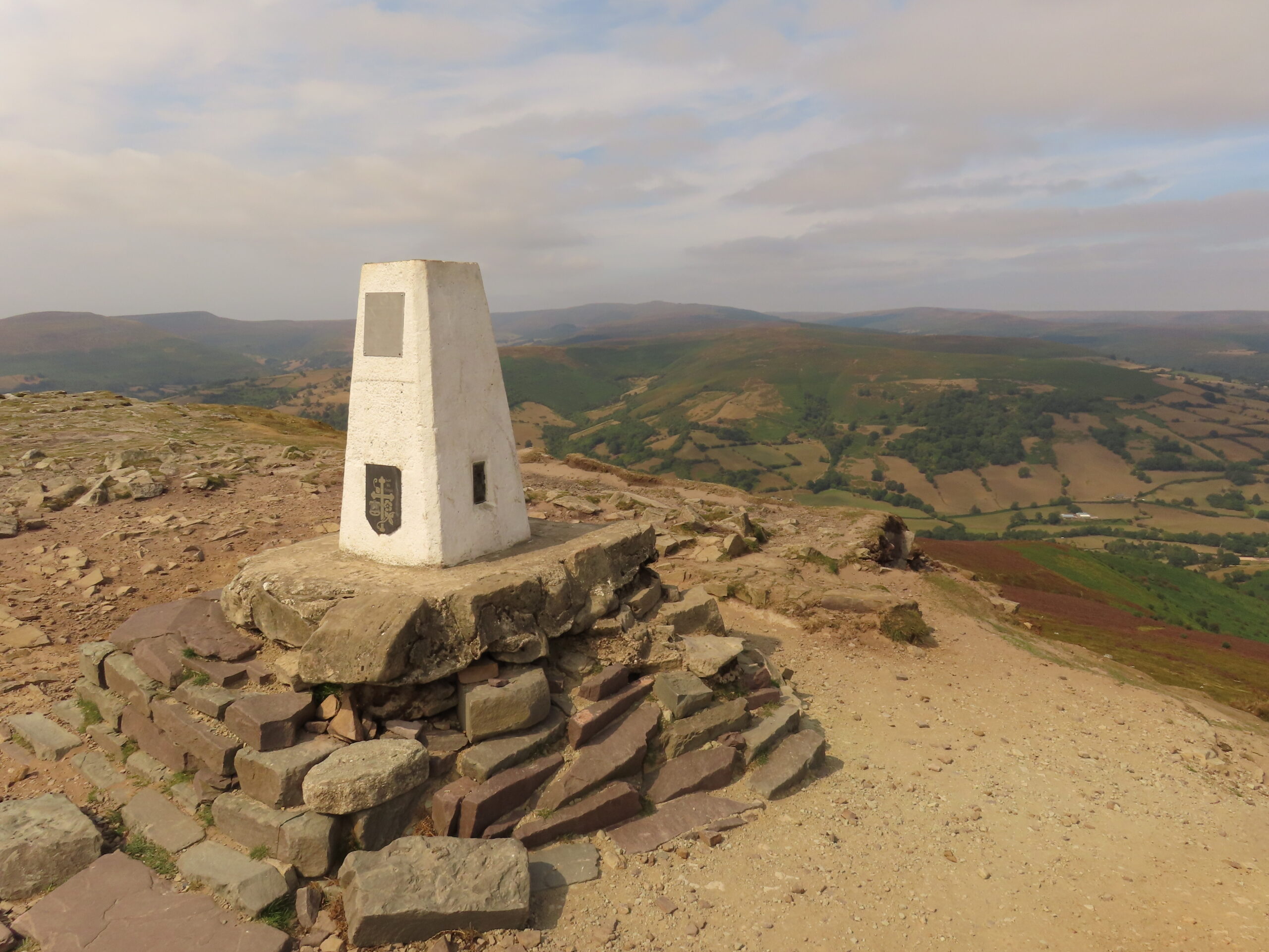
Sugar Loaf, or Mynydd Pen-y-fâl, is the cone-shaped hill north-west of Abergavenny, rising to 596 metres. The National Park’s own route climbs from the car park on Mynydd Llanwenarth to the south. This route comes in from the north-east instead, starting at the small Fro car park between Bettws and Forest Coal Pit and returning the same way.
Where it starts
From Abergavenny, take the Old Hereford Road to Pantygelli, turn left onto the narrow lane signed for Forest Coal Pit and carry on past the hamlet of Bettws to the car park on the left. A kissing gate at the back of the car park leads onto a track that climbs beside a wall past Blaenawey farm, before you join the broad track that runs up past a string of small pools towards the summit.
Underfoot
Expect farm tracks and wide grassy paths on the open hill, followed by a steep final pull. The ground around the summit is rocky and uneven, with loose patches, and it becomes slippery in wet weather.
When to take care
- Navigation on the open hill is hard in poor visibility, so check the mountain forecast and carry a map and compass.
- Keep dogs on leads near livestock, and on open access land between 1 March and 31 July.
- Several tracks cross the hill, so note your line on the way up to make the return straightforward.
Distance: about 6 km (4 miles), there and back, measured along the line on the route map below.
The line is a guide to the route, not a substitute for a proper map. Carry an Ordnance Survey map, check the weather before you set off and allow plenty of time.
Walk it with us
Abergavenny, where our Beacons Way holiday begins, is the nearest town to Sugar Loaf. We book your accommodation, move your luggage each day and provide route notes.
Photo: Colin Park, CC BY-SA 2.0, via Wikimedia Commons.