
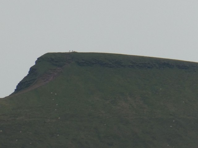
The short way up the highest peak in southern Britain: from Pont ar Daf to Corn Du and Pen y Fan, out to Cribyn and back.
Distance: about 7 km (5 miles), round trip, measured along the line on the map below.
The line follows waymarked footpaths and is a guide to the route, not a substitute for a proper map. Carry an Ordnance Survey map, check the weather before you set off and allow plenty of time.
Walk it with us
Our Brecon centre-based walking holiday takes in this part of Wales, with accommodation booked, your luggage moved each day and route notes provided.
Photo: Jeremy Bolwell, CC BY-SA 2.0, via Geograph.