
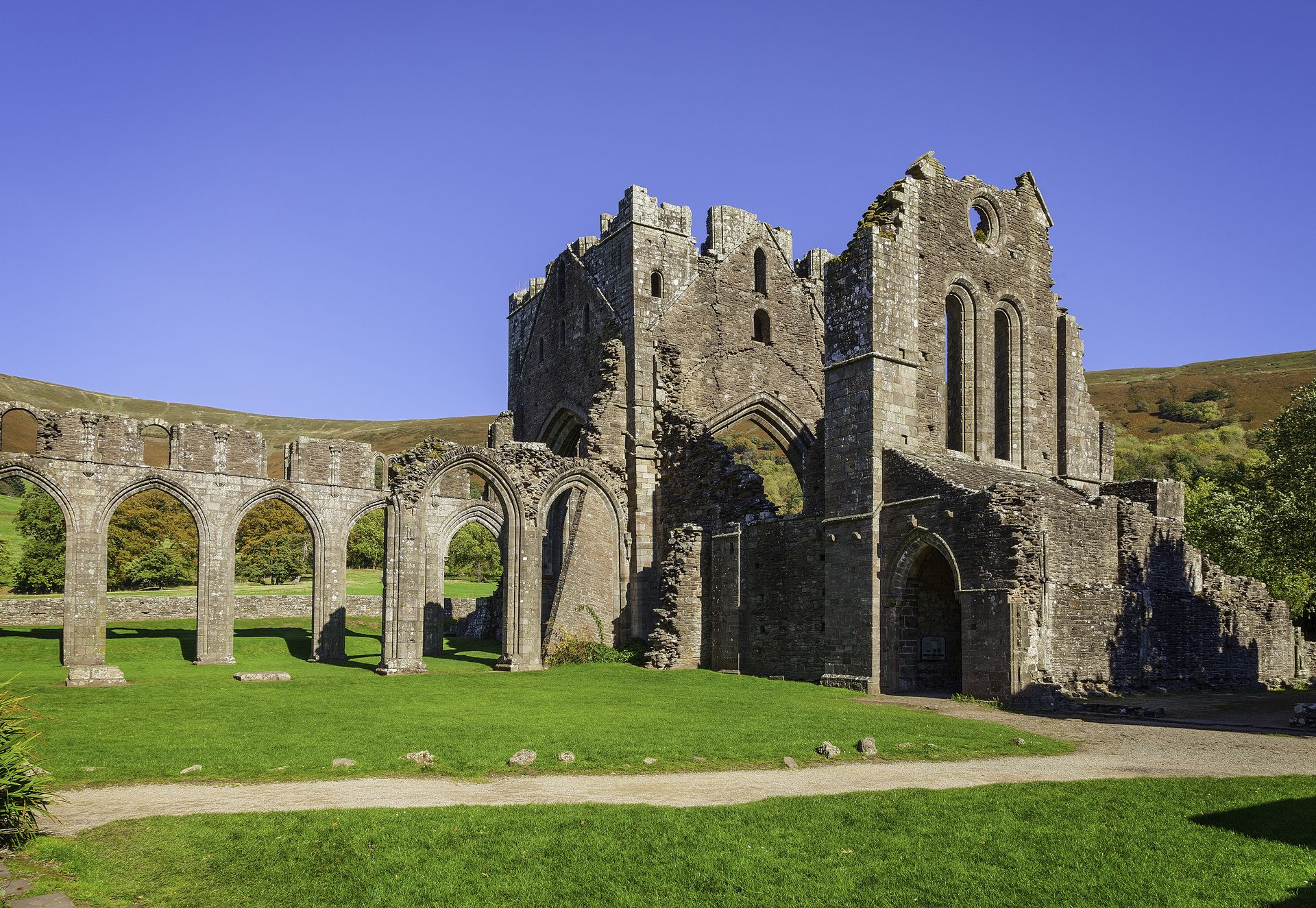
A classic Black Mountains day: up from the priory ruins onto Hatterrall Ridge and the Offa’s Dyke Path, south along the border to Hatterrall Hill, and back by the crooked church at Cwmyoy.
Distance: about 18 km (11 miles), round trip, measured along the line on the map below.
The line follows waymarked footpaths and is a guide to the route, not a substitute for a proper map. Carry an Ordnance Survey map, check the weather before you set off and allow plenty of time.
Walk it with us
Our Llanthony Priory walking holiday takes in this part of Wales, with accommodation booked, your luggage moved each day and route notes provided.