

Offa’s Dyke Path is one of Britain’s great National Trails, tracing 177 miles along the ancient border between England and Wales from Sedbury Cliffs near Chepstow on the Severn Estuary to the coastal town of Prestatyn on the shores of the Irish Sea. Officially opened in 1971, the trail crosses the border more than twenty times as it winds its way north through eight counties, offering one of the most complete and varied long-distance walks in Britain, taking in riverside meadows, rolling hills, high mountain ridges and everything in between.
The trail takes its name from the extraordinary earthwork after which it is named, a great hand-dug bank and ditch ordered by King Offa, ruler of the Anglo-Saxon kingdom of Mercia, in the late eighth century, probably to mark and defend the boundary between his kingdom and the rival Welsh kingdoms to the west. Around 60 miles of the modern trail either follows or keeps close company with the genuine remains of this remarkable structure, one of the largest and most ambitious linear earthworks in Europe, and walking alongside it offers a tangible, thirteen-hundred-year-old connection to the turbulent history of the Welsh Marches.
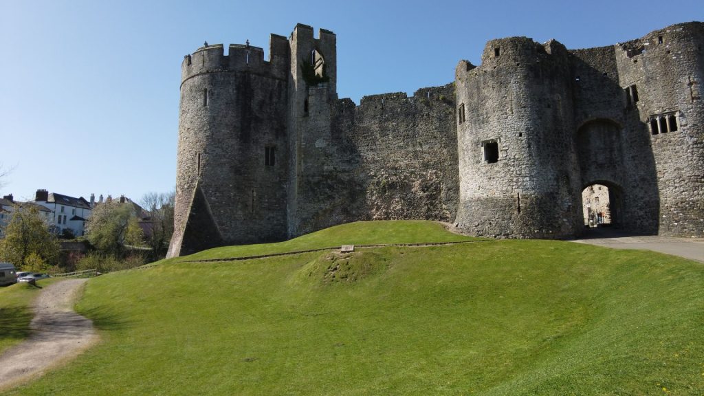
The southern section of the trail is arguably its most dramatic, beginning beside the tidal Severn before following the Wye Valley past Chepstow Castle, the oldest surviving stone castle in Britain, and close to the atmospheric ruins of Tintern Abbey. Beyond Monmouth, the trail climbs onto the Black Mountains, reaching its highest point on the dramatic Hatterrall Ridge at 703 metres, with the beautifully situated ruins of Llanthony Priory just below, before descending into the book town of Hay-on-Wye, a natural staging post for walkers roughly a third of the way along the route.
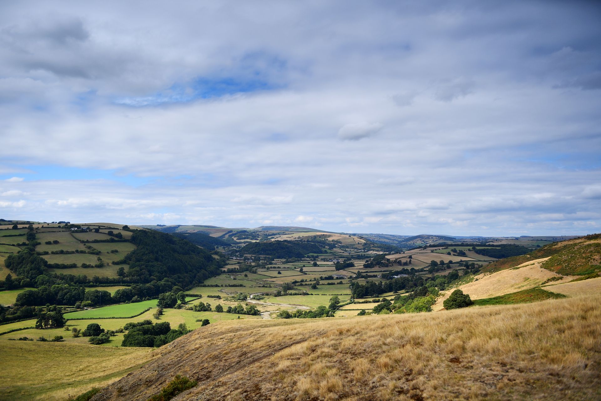
Continuing north, the trail enters gentler, more pastoral country through the Shropshire Hills, passing close to the border towns of Kington and Presteigne before reaching Knighton, the official halfway point of the entire trail and home to the Offa’s Dyke Centre. From here the walking continues through the rolling countryside around Montgomery and Welshpool, before the trail crosses the spectacular Pontcysyllte Aqueduct, a UNESCO World Heritage Site, near Llangollen, on the approach to its final, high-level finale.
The last stretch of the trail is a genuine highlight, climbing over the heather-clad Clwydian Range, passing a string of Iron Age hillforts and the Jubilee Tower atop Moel Famau, before descending through Prestatyn Hillside with views over Snowdonia and the North Wales coast opening up ahead. Tradition holds that walkers remove their boots for a final paddle in the Irish Sea at Prestatyn beach, a fitting and thoroughly well-earned end to one of the finest long-distance walks in Britain.
Our Offa’s Dyke Path holiday takes you the full distance from Chepstow to Prestatyn, with all the logistics arranged so you can focus entirely on the walking. As with our other self-guided holidays, we take care of your accommodation each night, transfer your luggage between stops, and provide detailed route notes and mapping throughout. There are no fixed departure dates, and given the scale of the full route, many walkers choose to tackle it in stages over several holidays. The southern half of the trail crosses paths with several of our other routes, including our Hay-on-Wye, Monnow Valley and Wye Valley Walk holidays, making it easy to combine a shorter section into a broader exploration of the Welsh Marches.
Day 1: Arrive in Chepstow
Day 2: Chepstow to Monmouth – Following the Wye Valley past Tintern Abbey.
Day 3: Monmouth to Pandy – Climbing towards the Black Mountains.
Day 4: Pandy to Hay-on-Wye – Over Hatterrall Ridge, the highest point on the trail, past Llanthony Priory.
Day 5: Hay-on-Wye to Kington – Into gentler Marches countryside.
Day 6: Kington to Knighton – Reaching the official halfway point and the Offa’s Dyke Centre.
Day 7: Knighton to Newcastle-on-Clun – Remote, rolling border country.
Day 8: Newcastle-on-Clun to Montgomery – Past Iron Age hillforts and quiet farmland.
Day 9: Montgomery to Welshpool
Day 10: Welshpool to Llanymynech
Day 11: Llanymynech to Froncysyllte – Crossing the Pontcysyllte Aqueduct near Llangollen.
Day 12: Froncysyllte to Llandegla – Via the Eglwyseg Crags.
Day 13: Llandegla to Bodfari – Along the high ridges of the Clwydian Range, past Moel Famau.
Day 14: Bodfari to Prestatyn – A final descent with views of Snowdonia and the coast, finishing with a paddle in the Irish Sea.
Day 15: Depart
(Itinerary shown as an example of the full end-to-end route – it can also be walked in shorter sections, and stages, mileage and overnight stops can be adjusted to suit fitness levels and available time.)